Beyond Earth · Farstep pack
Valles Marineris in 3D
Mars · on the rim of Ius Chasma
Along the equator of Mars, east of the Tharsis bulge
Valles Marineris is the largest canyon system in the solar system. On the rim of Ius Chasma the floor lies about 6 km below you, three times the depth of the Grand Canyon, and the far wall is some 20 km away. Layered deposits in the walls hint that water or ice once filled parts of these canyons; how much, and for how long, is still argued.
Key facts
- Where
- Along the equator of Mars, east of the Tharsis bulge
- Length
- About 4,000 km, a fifth of the way round Mars
- Depth here
- About 6 km below the rim
- Formed
- As the crust stretched over the Tharsis bulge, then widened by landslides
Walk Valles Marineris in 3D
A real-time 3D model, shaped to published NASA and USGS elevation measurements. Loads 1.4 MB when you start.
Valles Marineris
Walk it yourself. Works on this phone.
Part of the Beyond Earth pack: a one-time unlock in this browser.
Building Valles Marineris…
Shaped to NASA and USGS elevation measurements · a 3D reconstruction, not a photograph
What you'll find in the walk
Gold markers in the scene open these cards.
Seven kilometres down
KnownThe floor of the chasm is about 6 km below this rim, three times the depth of the Grand Canyon. The far wall is about 20 km away; in the wider chasmata to the east it is 100 km off and lost in the haze.
A crack in the planet
KnownValles Marineris runs about 4,000 km along the equator, a fifth of the way round Mars. It opened as the crust stretched over the Tharsis bulge, then widened by collapse and landslides.
Water in the walls?
TheorisedLayered deposits and sulphate minerals on the floor suggest standing water or ice once filled parts of these canyons. How much and for how long is still argued.
How we built it
A procedural model shaped to published NASA and USGS elevation measurements (MOLA, HiRISE). It is a reconstruction, not a photograph.

Walk them all in Farstep
The full site on your phone: a narrated guided tour, passport stamps, offline, and smoother graphics than a browser can give.
- Narrated guided tour, stop by stop, in nine languages
- Passport stamps for every hotspot and finished tour
- Works offline once installed
- Stonehenge free; other sites are one-time packs. No ads, no subscription.
Open in Farstep
On iPhone the button opens the App Store.
More in Beyond Earth
More wonders in 3D
Free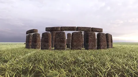
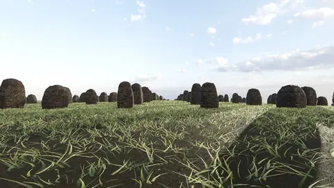
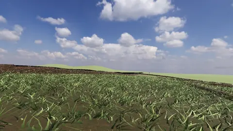
Stonehenge
Midwinter sunset on the axis
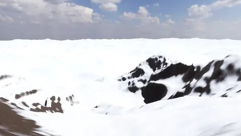
Everest summit ridge
Real elevation data · 8,849 m
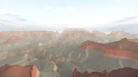
Grand Canyon
USGS elevation · South Rim
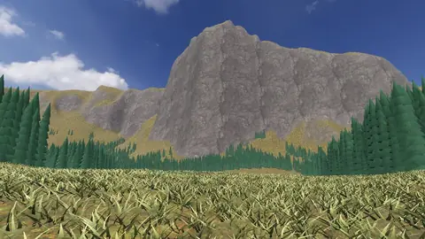
Yosemite Valley
USGS elevation · beneath El Capitan
Avebury
The great henge
Newgrange
Exterior · the mound and kerb
Skara Brae
Neolithic village, Orkney
Callanish Stones
Isle of Lewis
Carnac
The Ménec alignments
Hadrian's Wall
Open LiDAR terrain · Housesteads