Wonders of the world in 3D
Hadrian's Wall in 3D
Open LiDAR terrain · Housesteads
Housesteads, Northumberland, England
Hadrian's Wall was built across northern England on the orders of the emperor Hadrian, begun in AD 122 and about 117 km long from coast to coast. This 3D walk is built from open LiDAR terrain at Housesteads, where the wall rides the Whin Sill crags beside one of the best-preserved Roman forts in Britain: barracks, a granary, a hospital and the commander's house.
Key facts
- Where
- Housesteads, Northumberland, England
- When built
- Begun in AD 122 and garrisoned until around AD 400
- Size
- About 117 km long, coast to coast across northern England
- UNESCO World Heritage
- 1987
Walk Hadrian's Wall in 3D
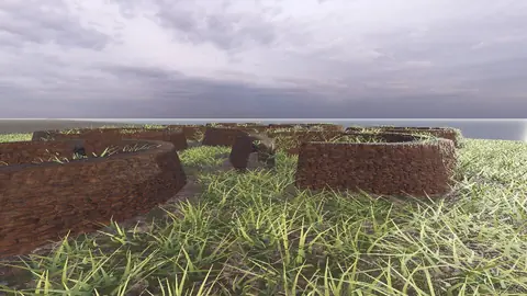
A real-time 3D model, built from open elevation data and published measurements. Loads 2.3 MB when you start.
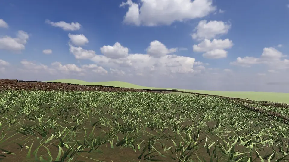
Terrain and sky from open data · stones from published measurements · tags as in the app
Hear the guide
The narrator from the app reads each tour stop. Transcripts below.
-
Hadrian's Wall
KnownBegun in AD 122 and about 117 km long, coast to coast. Here it rides the Whin Sill crags. It was garrisoned until around AD 400.
-
Housesteads fort
KnownBarracks, a granary, a hospital, the commander's house, and some of the best-preserved Roman latrines in Britain lie inside these walls.
How to visit in real life
Housesteads Roman Fort is cared for by English Heritage and the National Trust, with a museum and a walk up from the car park. The Hadrian's Wall Path, a national trail of about 135 km, follows the wall from Wallsend to Bowness-on-Solway.
Opening times and tickets change: check the official site. Official site

Open Hadrian's Wall in Farstep
The full site on your phone: a narrated guided tour, passport stamps, offline, and smoother graphics than a browser can give.
- Narrated guided tour, stop by stop, in nine languages
- Passport stamps for every hotspot and finished tour
- Works offline once installed
- Stonehenge free; other sites are one-time packs. No ads, no subscription.
Open in Farstep
On iPhone the button opens the App Store.
Questions
How long is Hadrian's Wall?
About 117 km (73 miles), from Wallsend on the River Tyne to Bowness-on-Solway on the west coast.
Can you walk along Hadrian's Wall?
Yes. The Hadrian's Wall Path national trail follows it for about 135 km; most people take six or seven days.
More wonders in 3D
Free




Stonehenge
Midwinter sunset on the axis
Everest summit ridge
Real elevation data · 8,849 m
Grand Canyon
USGS elevation · South Rim
Yosemite Valley
USGS elevation · beneath El Capitan
Avebury
The great henge
Newgrange
Exterior · the mound and kerb
Skara Brae
Neolithic village, Orkney
Callanish Stones
Isle of Lewis
Carnac
The Ménec alignments