Beyond Earth · Farstep pack
Tranquility Base in 3D
The Moon · 20 July 1969
Mare Tranquillitatis, the Moon
Tranquility Base is where the first crewed landing on the Moon touched down on 20 July 1969. The lander's descent stage still stands where it was left; you can walk to Little West crater, the farthest either astronaut went, under a black sky with Earth hanging about 60 degrees up. With no air, the sky stays black in full sunlight.
Key facts
- Where
- Mare Tranquillitatis, the Moon
- Landing
- 20 July 1969
- Time outside
- About two and a half hours
- Farthest walk
- About 60 m, to Little West crater
Walk Tranquility Base in 3D
A real-time 3D model, shaped to published NASA and USGS elevation measurements. Loads 1.4 MB when you start.
Tranquility Base
Walk it yourself. Works on this phone.
Part of the Beyond Earth pack: a one-time unlock in this browser.
Building Tranquility Base…
Shaped to NASA and USGS elevation measurements · a 3D reconstruction, not a photograph
What you'll find in the walk
Gold markers in the scene open these cards.
The Eagle's descent stage
KnownThe lower half of the lunar module stayed behind on 21 July 1969 when the ascent stage lifted off. This is a simplified model built to NASA's published dimensions, not a scan.
Little West crater
KnownArmstrong jogged about 60 m east to photograph this 33 m crater: the farthest either astronaut went from the lander during two and a half hours outside.
Earth, high in a black sky
KnownWith no air to scatter light the sky is black even in full sunlight, and the stars are hidden by the glare. Earth hangs about 60 degrees up and never moves across this sky.
How we built it
A procedural model shaped to published NASA and USGS elevation measurements (LROC). The descent stage is a simplified block model built to published dimensions, not a scan. It is a reconstruction, not a photograph.
Walk them all in Farstep
The full site on your phone: a narrated guided tour, passport stamps, offline, and smoother graphics than a browser can give.
- Narrated guided tour, stop by stop, in nine languages
- Passport stamps for every hotspot and finished tour
- Works offline once installed
- Stonehenge free; other sites are one-time packs. No ads, no subscription.
Open in Farstep
On iPhone the button opens the App Store.
More in Beyond Earth
More wonders in 3D
Free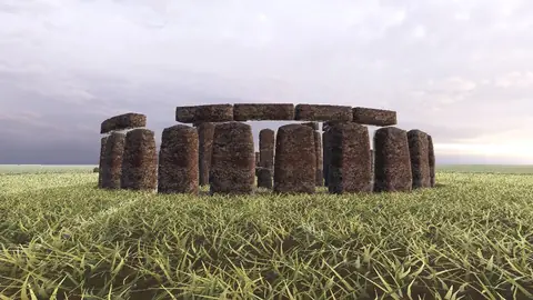
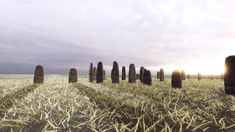
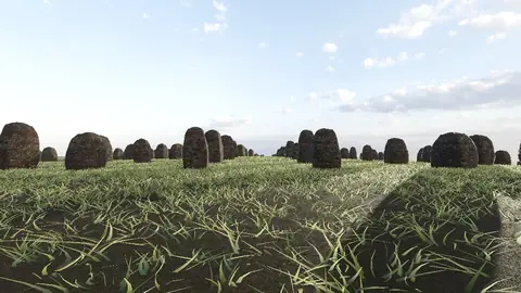
Stonehenge
Midwinter sunset on the axis
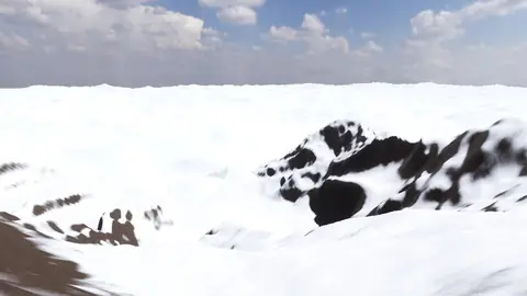
Everest summit ridge
Real elevation data · 8,849 m
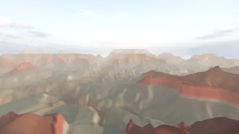
Grand Canyon
USGS elevation · South Rim
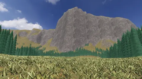
Yosemite Valley
USGS elevation · beneath El Capitan
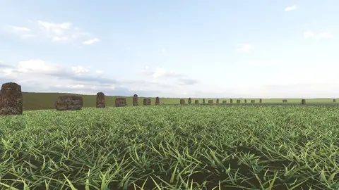
Avebury
The great henge
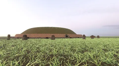
Newgrange
Exterior · the mound and kerb
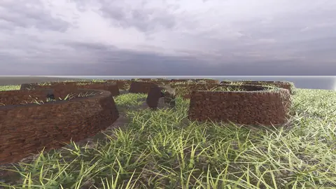
Skara Brae
Neolithic village, Orkney
Callanish Stones
Isle of Lewis
Carnac
The Ménec alignments
Hadrian's Wall
Open LiDAR terrain · Housesteads