Wonders of the world in 3D
Everest summit ridge in 3D
Real elevation data · 8,849 m
Mahalangur Himal, on the border of Nepal and China (Tibet)
Mount Everest is the highest point on Earth, 8,849 m above sea level. This 3D walk is built from real elevation data: you start on the summit ridge, can look along the Hillary Step and out over the Himalaya, and walk to the top. Up here each breath holds about a third of the oxygen it does at sea level, which is why so few people ever stand where this model puts you.
Key facts
- Where
- Mahalangur Himal, on the border of Nepal and China (Tibet)
- When built
- First climbed on 29 May 1953 by Tenzing Norgay and Edmund Hillary
- Size
- 8,849 m above sea level (China–Nepal survey, 2020)
- UNESCO World Heritage
- 1979
Walk Everest summit ridge in 3D
A real-time 3D model, built from open elevation data and published measurements. Loads 1.8 MB when you start.
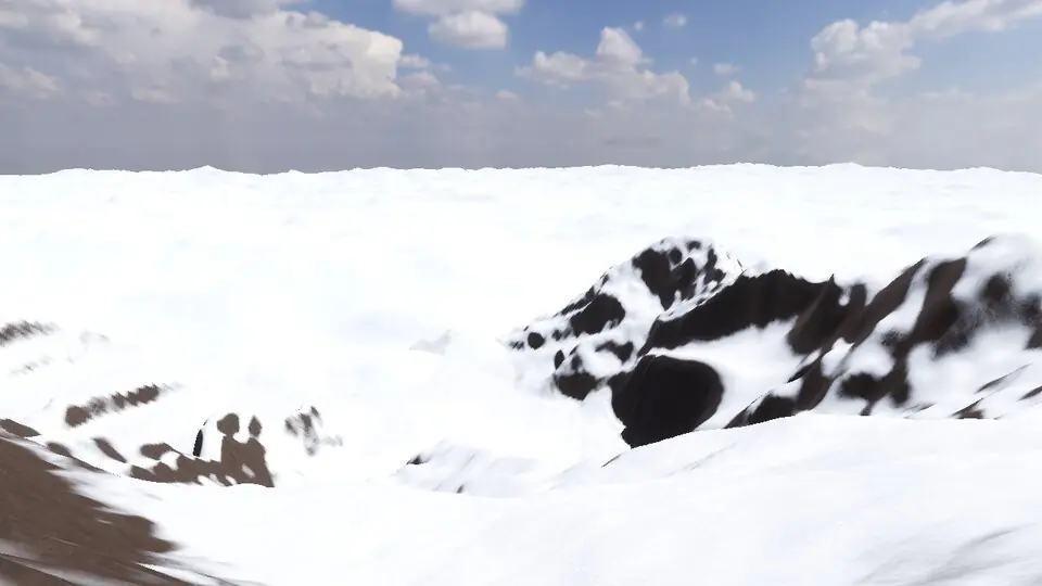
Terrain and sky from open data · stones from published measurements · tags as in the app
Hear the guide
The narrator from the app reads each tour stop. Transcripts below.
-
The summit · 8,849 m
KnownHeight from the 2020 China–Nepal survey. First reached on 29 May 1953 by Tenzing Norgay and Edmund Hillary. Up here each breath holds about a third of the oxygen at sea level.
-
The Hillary Step
KnownA rock step of about 12 m, the last obstacle before the top. Its shape changed after the 2015 earthquake.
How to visit in real life
Most visitors see Everest from the trek to Everest Base Camp in Nepal's Khumbu region, usually reached by a flight to Lukla and about two weeks of walking there and back. A summit climb takes around two months, needs a government permit and an experienced guide team, and carries real risk.
Opening times and tickets change: check the official site. Official site

Open Everest summit ridge in Farstep
The full site on your phone: a narrated guided tour, passport stamps, offline, and smoother graphics than a browser can give.
- Narrated guided tour, stop by stop, in nine languages
- Passport stamps for every hotspot and finished tour
- Works offline once installed
- Stonehenge free; other sites are one-time packs. No ads, no subscription.
Open in Farstep
On iPhone the button opens the App Store.
Questions
How tall is Mount Everest?
8,849 m (29,032 ft), the height agreed by China and Nepal after their 2020 survey.
Can you see the summit of Everest without climbing?
From Everest Base Camp and nearby viewpoints such as Kala Patthar you can see the summit pyramid. The 3D walk on this page puts you on the summit ridge itself.
More wonders in 3D
Free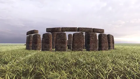
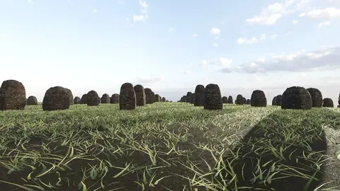
Stonehenge
Midwinter sunset on the axis
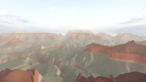
Grand Canyon
USGS elevation · South Rim
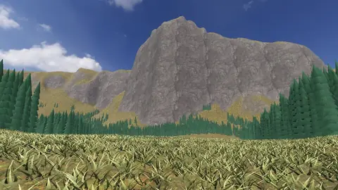
Yosemite Valley
USGS elevation · beneath El Capitan
Avebury
The great henge
Newgrange
Exterior · the mound and kerb
Skara Brae
Neolithic village, Orkney
Callanish Stones
Isle of Lewis
Carnac
The Ménec alignments
Hadrian's Wall
Open LiDAR terrain · Housesteads