Beyond Earth · Farstep pack
Olympus Mons in 3D
Mars · the summit caldera rim
Tharsis region, Mars
Olympus Mons is the tallest volcano known in the solar system, about two and a half times the height of Everest above sea level. This 3D walk puts you on the rim of its summit caldera, a nest of collapse pits left when magma chambers drained, with the far wall dropping almost three kilometres to the floor. Its slopes are so gentle that the base, some 300 km away, is out of sight.
Key facts
- Where
- Tharsis region, Mars
- Height
- About 21.9 km above the Martian datum
- Summit caldera
- About 80 km across; walls up to 2.8 km
- Footprints
- None: every landing so far was in the lowlands
Walk Olympus Mons in 3D
A real-time 3D model, shaped to published NASA and USGS elevation measurements. Loads 1.4 MB when you start.
Olympus Mons
Walk it yourself. Works on this phone.
Part of the Beyond Earth pack: a one-time unlock in this browser.
Building Olympus Mons…
Shaped to NASA and USGS elevation measurements · a 3D reconstruction, not a photograph
What you'll find in the walk
Gold markers in the scene open these cards.
The caldera wall
KnownThe ground drops about 2.8 km from this rim to the caldera floor. The whole summit caldera is some 80 km across, a nest of collapse pits left when magma chambers drained.
21.9 km above the datum
KnownOlympus Mons is the tallest volcano known in the solar system, about two and a half times the height of Everest above sea level. Its slopes are so gentle that from here you could not see its base: it is 300 km away.
Nobody has stood here
KnownThis is a reconstruction from NASA orbital elevation data. Mars has no footprints above its deserts yet: every surface mission so far landed in the lowlands.
How we built it
A procedural model shaped to published NASA and USGS orbital elevation measurements (MOLA). It is a reconstruction, not a photograph.
Walk them all in Farstep
The full site on your phone: a narrated guided tour, passport stamps, offline, and smoother graphics than a browser can give.
- Narrated guided tour, stop by stop, in nine languages
- Passport stamps for every hotspot and finished tour
- Works offline once installed
- Stonehenge free; other sites are one-time packs. No ads, no subscription.
Open in Farstep
On iPhone the button opens the App Store.
More in Beyond Earth
More wonders in 3D
Free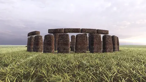
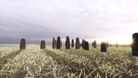
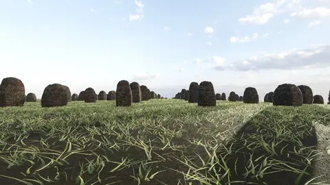
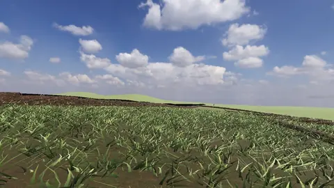
Stonehenge
Midwinter sunset on the axis
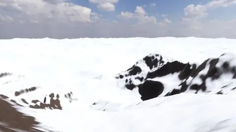
Everest summit ridge
Real elevation data · 8,849 m
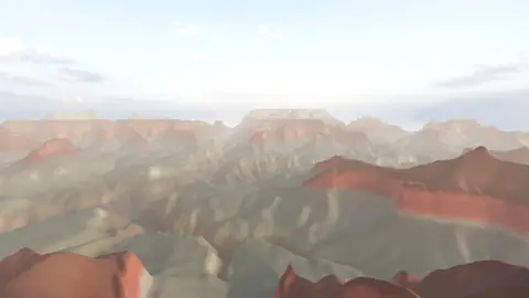
Grand Canyon
USGS elevation · South Rim
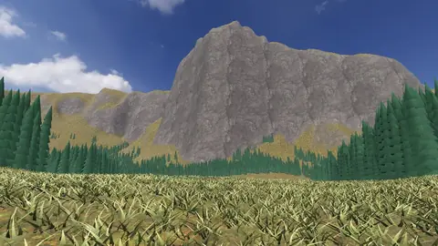
Yosemite Valley
USGS elevation · beneath El Capitan
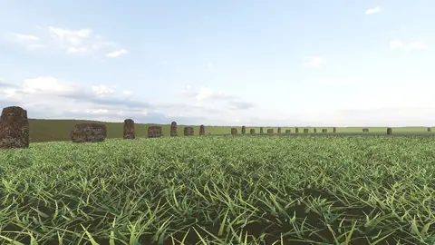
Avebury
The great henge
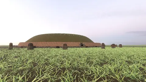
Newgrange
Exterior · the mound and kerb
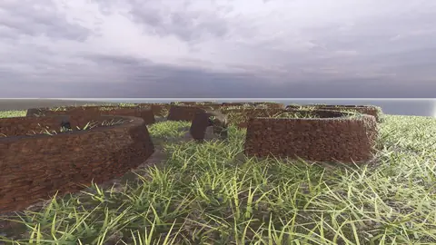
Skara Brae
Neolithic village, Orkney
Callanish Stones
Isle of Lewis
Carnac
The Ménec alignments
Hadrian's Wall
Open LiDAR terrain · Housesteads