Wonders of the world in 3D
Yosemite Valley in 3D
USGS elevation · beneath El Capitan
Yosemite National Park, Sierra Nevada, California, USA
Yosemite Valley is a glacier-carved valley in California's Sierra Nevada, walled by granite cliffs. This 3D walk is built from US Geological Survey elevation data and starts on the valley floor beneath El Capitan, about 900 m of sheer granite. In 1864 this valley was set aside for public use, the first time land was protected like this in the United States.
Key facts
- Where
- Yosemite National Park, Sierra Nevada, California, USA
- When built
- Protected since the Yosemite Grant of 1864
- Size
- El Capitan rises about 900 m from the valley floor
- UNESCO World Heritage
- 1984
Walk Yosemite Valley in 3D
A real-time 3D model, built from open elevation data and published measurements. Loads 2.4 MB when you start.
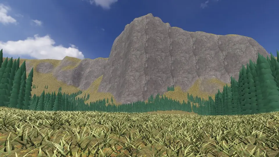
Terrain and sky from open data · stones from published measurements · tags as in the app
Hear the guide
The narrator from the app reads each tour stop. Transcripts below.
-
El Capitan
KnownAbout 900 m of sheer granite from the valley floor to the top. The valley itself was carved and widened by glaciers.
-
The Yosemite Grant
KnownIn 1864 this valley was set aside for public use, the first time land was protected like this in the United States.
How to visit in real life
Yosemite Valley is open all year; the busiest months are summer and the waterfall season in spring. In some seasons a reservation is needed to drive into the park, so check the National Park Service site for the dates you plan.
Opening times and tickets change: check the official site. Official site

Open Yosemite Valley in Farstep
The full site on your phone: a narrated guided tour, passport stamps, offline, and smoother graphics than a browser can give.
- Narrated guided tour, stop by stop, in nine languages
- Passport stamps for every hotspot and finished tour
- Works offline once installed
- Stonehenge free; other sites are one-time packs. No ads, no subscription.
Open in Farstep
On iPhone the button opens the App Store.
Questions
How tall is El Capitan?
About 900 m (3,000 ft) from the valley floor to the top of the cliff.
How was Yosemite Valley formed?
Rivers cut the first canyon, and glaciers during the ice ages widened and deepened it into the U-shaped valley seen today.
More wonders in 3D
Free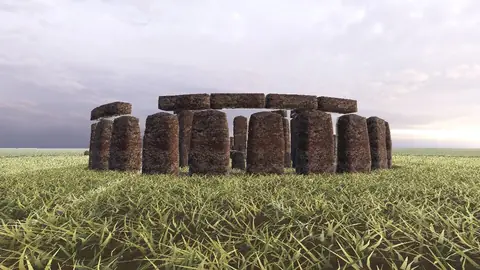

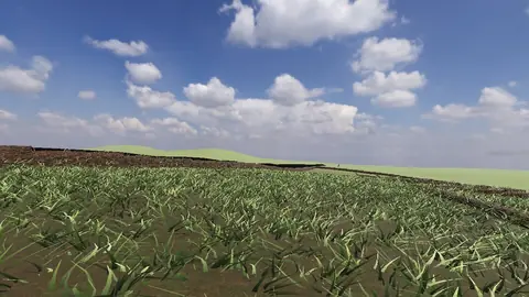
Stonehenge
Midwinter sunset on the axis
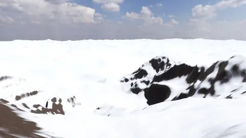
Everest summit ridge
Real elevation data · 8,849 m
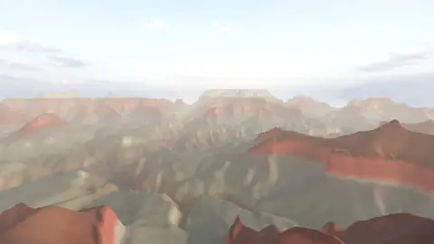
Grand Canyon
USGS elevation · South Rim
Avebury
The great henge
Newgrange
Exterior · the mound and kerb
Skara Brae
Neolithic village, Orkney
Callanish Stones
Isle of Lewis
Carnac
The Ménec alignments
Hadrian's Wall
Open LiDAR terrain · Housesteads