Low Countries · Farstep pack
Kinderdijk in 3D
South Holland · the mills of 1740
South Holland, the Netherlands
Kinderdijk's nineteen windmills were built between 1738 and 1740 to lift water out of the polder, first into a storage basin and then into the river. The land lies about 1.5 m below the water in the canals, so every drop of rain has to be lifted out. The mills still turn, and where a miller parks the sails still carries a message.
Key facts
- Where
- South Holland, the Netherlands
- Mills
- Nineteen, built 1738 to 1740
- Land level
- About 1.5 m below the canal water
- Job
- Lifting water out of the polder in two steps
- UNESCO World Heritage
- 1997
Walk Kinderdijk in 3D
A real-time 3D model, built from open elevation data and published measurements. Loads 2.2 MB when you start.
Kinderdijk
Walk it yourself. Works on this phone.
Part of the Low Countries pack: a one-time unlock in this browser.
Building Kinderdijk…
Terrain from open elevation data · a 3D reconstruction, not a photograph · tags as in the app
What you'll find in the walk
Gold markers in the scene open these cards.
Nineteen mills, 1738-40
KnownBuilt to lift water out of the polder in two steps, into the storage basin and then the river. They still turn, though pumping stations do the real work now.
Below the sea
KnownThe land here lies about 1.5 m below the water in the canals and lower still below the river beyond the dyke. Every drop of rain has to be lifted out.
The sail code
KnownWhere the miller parked the sails carried a message to the village: a cross for rest, a blade just past the top for joy, just short of it for mourning.
How to visit in real life
Kinderdijk is reached by road, by bike along the dykes, or by water bus from Rotterdam. Paths run along the canals between the mills, and some mills are open inside.
Opening times and tickets change: check the official site. Official site

Walk them all in Farstep
The full site on your phone: a narrated guided tour, passport stamps, offline, and smoother graphics than a browser can give.
- Narrated guided tour, stop by stop, in nine languages
- Passport stamps for every hotspot and finished tour
- Works offline once installed
- Stonehenge free; other sites are one-time packs. No ads, no subscription.
Open in Farstep
On iPhone the button opens the App Store.
More in Low Countries
More wonders in 3D
Free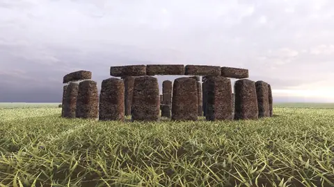
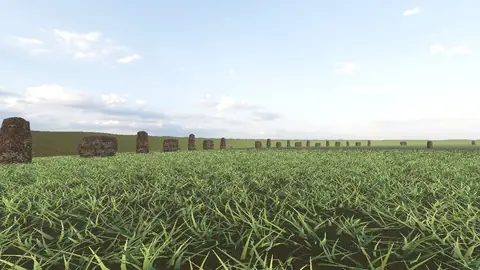
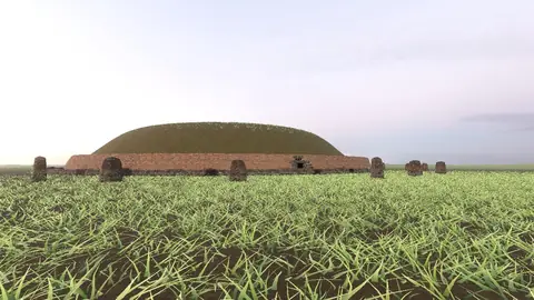
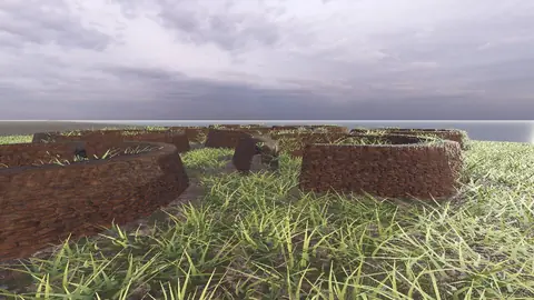
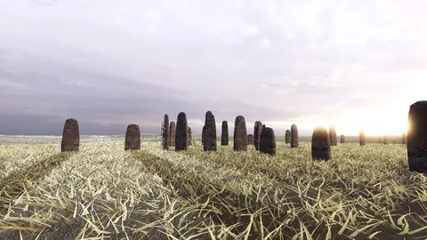
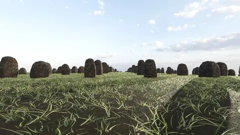
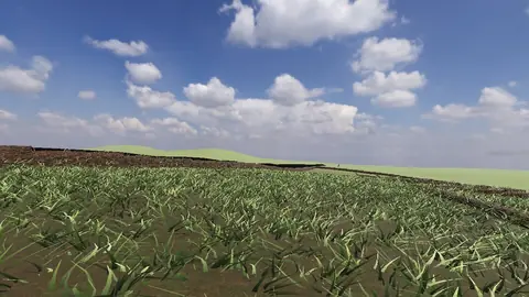
Stonehenge
Midwinter sunset on the axis
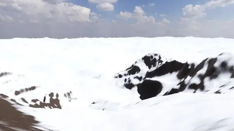
Everest summit ridge
Real elevation data · 8,849 m
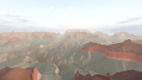
Grand Canyon
USGS elevation · South Rim
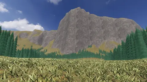
Yosemite Valley
USGS elevation · beneath El Capitan
Avebury
The great henge
Newgrange
Exterior · the mound and kerb
Skara Brae
Neolithic village, Orkney
Callanish Stones
Isle of Lewis
Carnac
The Ménec alignments
Hadrian's Wall
Open LiDAR terrain · Housesteads