Falls of the World · Farstep pack
Gullfoss in 3D
Two steps into the crevice
On the Hvítá river, southwest Iceland
Gullfoss drops the Hvítá river 11 m, turns, and plunges 21 m into a crevice about 20 m wide that runs on for some 2.5 km. The river carries meltwater from Langjökull, Iceland's second-largest glacier. Sigríður Tómasdóttir, daughter of the farmer who owned the falls, is remembered for walking to Reykjavík again and again to stop a dam.
Key facts
- Where
- On the Hvítá river, southwest Iceland
- Steps
- 11 m, then 21 m into a crevice
- Crevice
- About 20 m wide, 2.5 km long
- Summer flow
- About 140 m³ a second
Walk Gullfoss in 3D
A real-time 3D model, built from open elevation data and published measurements. Loads 2.5 MB when you start.
Gullfoss
Walk it yourself. Works on this phone.
Part of the Falls of the World pack: a one-time unlock in this browser.
Building Gullfoss…
Terrain from open elevation data · a 3D reconstruction, not a photograph · tags as in the app
What you'll find in the walk
Gold markers in the scene open these cards.
Two steps
KnownThe Hvítá drops 11 m, turns, and plunges 21 m into a crevice about 20 m wide. The crevice runs on for some 2.5 km.
Glacier water
KnownThe river carries meltwater from Langjökull, Iceland's second-largest glacier. In summer about 140 m³ goes over the falls every second.
Sigríður's walks
FolkloreSigríður Tómasdóttir, daughter of the farmer who owned the falls, is said to have walked to Reykjavík again and again to stop a dam, vowing to throw herself in if it was built.
How to visit in real life
Gullfoss is on the road loop east of Reykjavík with paths down to the edge of the falls. Paths can be icy and closed in winter.
Access, seasons and permits change: check locally before you go.
Walk them all in Farstep
The full site on your phone: a narrated guided tour, passport stamps, offline, and smoother graphics than a browser can give.
- Narrated guided tour, stop by stop, in nine languages
- Passport stamps for every hotspot and finished tour
- Works offline once installed
- Stonehenge free; other sites are one-time packs. No ads, no subscription.
Open in Farstep
On iPhone the button opens the App Store.
More in Falls of the World
More wonders in 3D
Free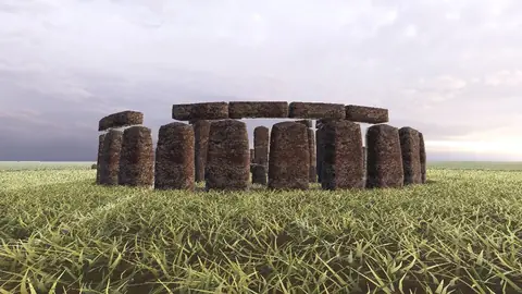
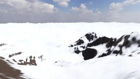
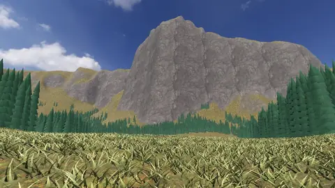
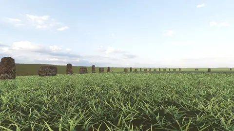
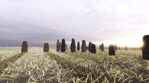
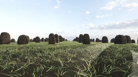
Stonehenge
Midwinter sunset on the axis
Everest summit ridge
Real elevation data · 8,849 m
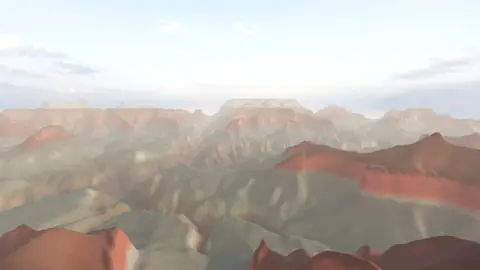
Grand Canyon
USGS elevation · South Rim
Yosemite Valley
USGS elevation · beneath El Capitan
Avebury
The great henge
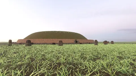
Newgrange
Exterior · the mound and kerb
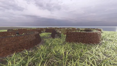
Skara Brae
Neolithic village, Orkney
Callanish Stones
Isle of Lewis
Carnac
The Ménec alignments
Hadrian's Wall
Open LiDAR terrain · Housesteads