Fjords of Norway · Farstep pack
Preikestolen in 3D
Pulpit Rock · 604 m above the Lysefjord
Above the Lysefjord, Rogaland, Norway
Preikestolen, Pulpit Rock, is a flat-topped block of granite that ends in a sheer face 604 m above the Lysefjord. Frost split it from the mountain along a joint as the ice sheet melted back about 10,000 years ago, and a crack still runs across the rock behind the ledge. This walk puts you on the top, with the fjord far below.
Key facts
- Where
- Above the Lysefjord, Rogaland, Norway
- Drop
- 604 m to the Lysefjord
- Top
- Roughly 25 by 25 m
- Formed
- Split off by frost about 10,000 years ago
Walk Preikestolen in 3D
A real-time 3D model, built from open elevation data and published measurements. Loads 2.3 MB when you start.
Preikestolen
Walk it yourself. Works on this phone.
Part of the Fjords of Norway pack: a one-time unlock in this browser.
Building Preikestolen…
Terrain from open elevation data · a 3D reconstruction, not a photograph · tags as in the app
What you'll find in the walk
Gold markers in the scene open these cards.
Preikestolen · 604 m
KnownThe flat top is roughly 25 by 25 metres and ends in a sheer face 604 m above the Lysefjord. Frost split it from the mountain along a joint about 10,000 years ago, as the ice sheet melted back.
The cleft
KnownA crack runs across the rock behind the ledge. It is the same kind of joint that freed the block in the first place; measurements so far show no movement.
Lysefjord
KnownAbout 42 km long and more than 400 m deep in places, carved by glaciers through granite.
How to visit in real life
Preikestolen is reached on foot by a marked mountain trail from a car park above the Lysefjord, usually a few hours there and back; in winter the trail calls for a guide. There are no railings at the edge.
Opening times and tickets change: check the official site. Official site

Walk them all in Farstep
The full site on your phone: a narrated guided tour, passport stamps, offline, and smoother graphics than a browser can give.
- Narrated guided tour, stop by stop, in nine languages
- Passport stamps for every hotspot and finished tour
- Works offline once installed
- Stonehenge free; other sites are one-time packs. No ads, no subscription.
Open in Farstep
On iPhone the button opens the App Store.
More in Fjords of Norway
More wonders in 3D
Free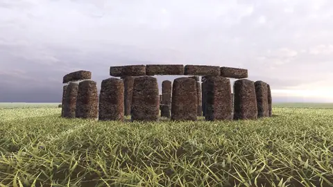


Stonehenge
Midwinter sunset on the axis
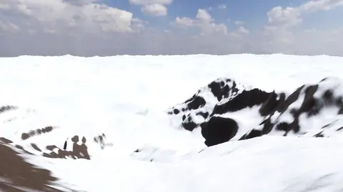
Everest summit ridge
Real elevation data · 8,849 m
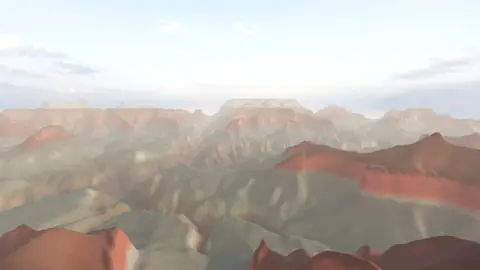
Grand Canyon
USGS elevation · South Rim
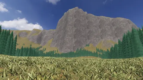
Yosemite Valley
USGS elevation · beneath El Capitan
Avebury
The great henge
Newgrange
Exterior · the mound and kerb
Skara Brae
Neolithic village, Orkney
Callanish Stones
Isle of Lewis
Carnac
The Ménec alignments
Hadrian's Wall
Open LiDAR terrain · Housesteads