Alpine Summits · Farstep pack
Matterhorn in 3D
The Hörnli ridge · 4,478 m
Pennine Alps, on the border of Switzerland and Italy
The Matterhorn's summit stands 4,478 m above sea level. Edward Whymper's party of seven first reached it on 14 July 1865 by the Hörnli ridge; four of them died when a rope broke on the way down. This walk starts high on that ridge, the usual way up from Zermatt, and lets you reach the top.
Key facts
- Where
- Pennine Alps, on the border of Switzerland and Italy
- Height
- 4,478 m
- First climbed
- 14 July 1865, by Edward Whymper's party
- Usual route
- The Hörnli ridge from Zermatt
Walk Matterhorn in 3D
A real-time 3D model, built from open elevation data and published measurements. Loads 2.4 MB when you start.
Matterhorn
Walk it yourself. Works on this phone.
Part of the Alpine Summits pack: a one-time unlock in this browser.
Building Matterhorn…
Terrain from open elevation data · a 3D reconstruction, not a photograph · tags as in the app
What you'll find in the walk
Gold markers in the scene open these cards.
The summit · 4,478 m
KnownFirst climbed on 14 July 1865 by Edward Whymper's party of seven, up this ridge. Four of them were killed when a rope broke on the way down.
The Hörnli ridge
KnownThe usual way up from Zermatt. Fixed ropes cover the steepest part near the top, still a long day of climbing on loose rock and ice.
How to visit in real life
Most visitors see the Matterhorn from Zermatt and the lifts and trails above it. Climbing it is a serious alpine route on loose rock and ice, done with a certified mountain guide.
Opening times and tickets change: check the official site. Official site
Walk them all in Farstep
The full site on your phone: a narrated guided tour, passport stamps, offline, and smoother graphics than a browser can give.
- Narrated guided tour, stop by stop, in nine languages
- Passport stamps for every hotspot and finished tour
- Works offline once installed
- Stonehenge free; other sites are one-time packs. No ads, no subscription.
Open in Farstep
On iPhone the button opens the App Store.
More in Alpine Summits
More wonders in 3D
Free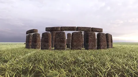
Stonehenge
Midwinter sunset on the axis
Everest summit ridge
Real elevation data · 8,849 m
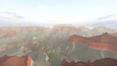
Grand Canyon
USGS elevation · South Rim
Yosemite Valley
USGS elevation · beneath El Capitan
Avebury
The great henge
Newgrange
Exterior · the mound and kerb
Skara Brae
Neolithic village, Orkney
Callanish Stones
Isle of Lewis
Carnac
The Ménec alignments
Hadrian's Wall
Open LiDAR terrain · Housesteads